3D Scanning and Advanced Surface Measurement
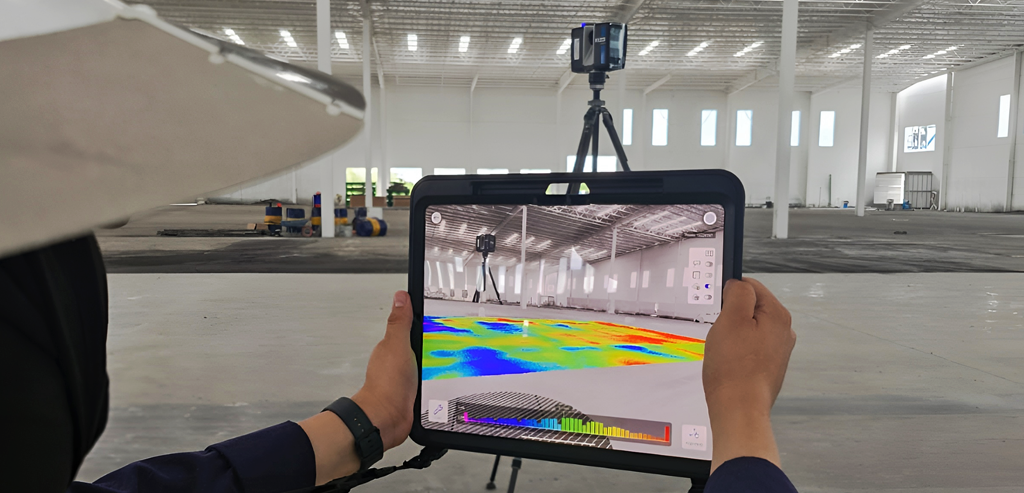
3D scanning is an advanced measurement technology that captures the actual geometry of a surface with high precision by collecting millions of three-dimensional data points, generating a complete digital representation of the floor, subgrade, or measured volume.
Unlike traditional spot measurements, 3D scanning provides a continuous and detailed view of the surface, allowing for objective and verifiable analysis of flatness, levelness, slopes, deformations, and volumes.
This measurement technology integrates with and complements international standards commonly used in industrial flooring projects, including:
- ASTM Standards, for geometric control and surface evaluation.
- DIN and TR34 Standards, widely used in demanding industrial and logistics facilities.
- F-Numbers (FF/FL and FMIN), utilized as performance and quality benchmarks for concrete floors.
3D scanning makes it possible to compare actual site conditions against reference surfaces, specified tolerances, and acceptance criteria established by these standards, facilitating decision-making during construction and reducing the risk of costly rework.
At Planicidad 100, this service is primarily applied to:
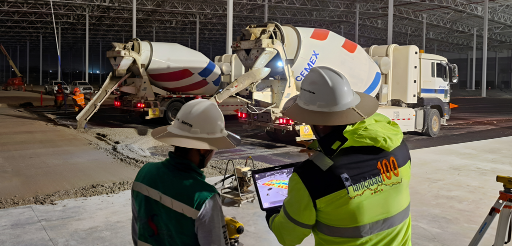
- Subgrade and earthwork verification, confirming elevations, slopes, and surface preparation prior to concrete placement.
- Cut-and-fill volume calculations, supported by comprehensive technical documentation and reporting.
- Flatness and levelness measurements on fresh concrete or during the construction process, when corrective actions can still be implemented.
- Evaluation of completed and polished floors using 3D scanning, enabling the detection of variations, deviations, and detailed analysis of the final floor quality.
The result is clear, visual, and technically reliable information presented through digital models, elevation maps, and detailed reports, strengthening quality control processes and supporting compliance with project specifications.